

Mapping- Digital Orthophoto Map Production
In GEOMATICS we undertake the design and realisation of large scale mapping projects ranging from aerial photography missions to topographical basemap production and incorporation into a G.I.S. environment.
We perform surveying and mapping activities for the production of various scale basemaps in either vector or raster format (orthophoto maps), on behalf of public authorities or private sector clients, covering all project phases such as:
- Flight planning
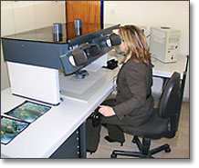
- Aerial photography missions
- Ground control
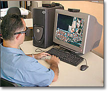
- Photogrammetric plotting
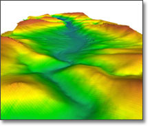
- Digital Elevation Model Production
- Digital Orthophoto Map production
- Data integration in a G.I.S. environment
If you represent a Municipality Authority, bring your municipality's mapping infrastructures up to date rapidly, at low cost and in a reliable manner.
Take advantage of the technological developments in the field of mapping. In GEOMATICS you will find a complete, low cost and technologically advanced solution.
Contact us for further information.